Aerial Sketches (click on an image to see full-size)
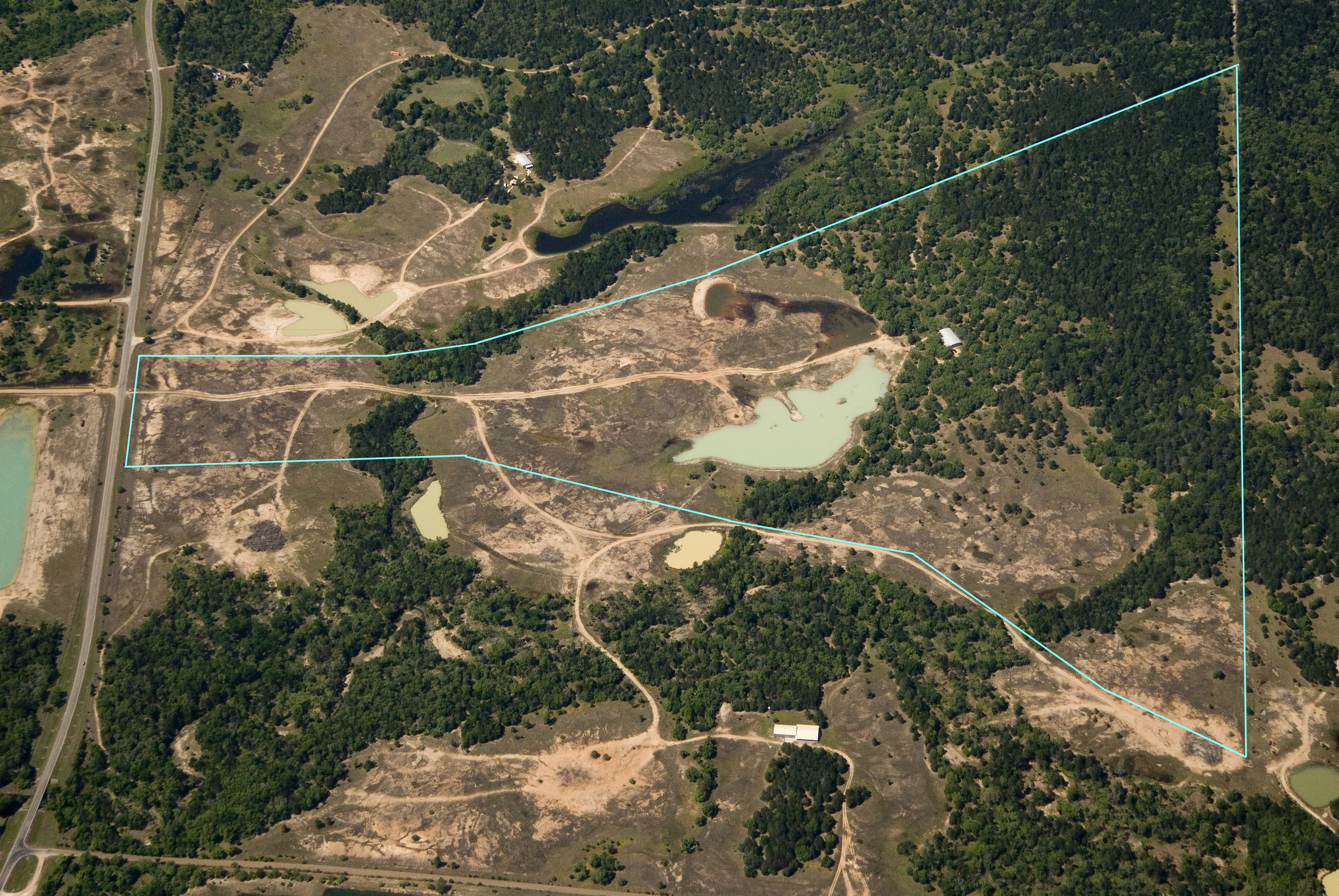
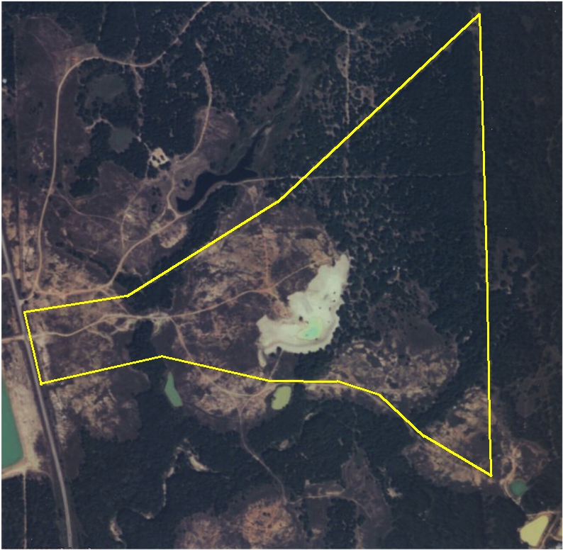
View from the south (with property boundary)
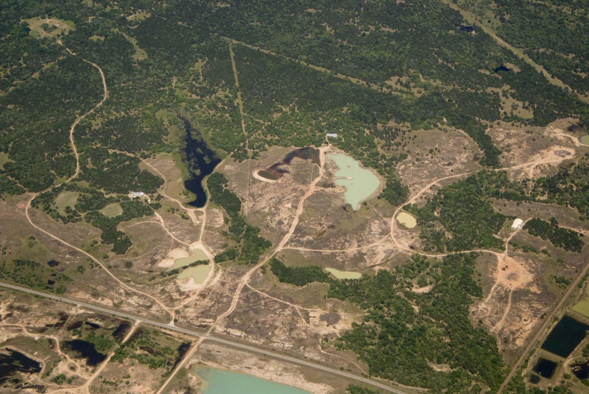
View from the west
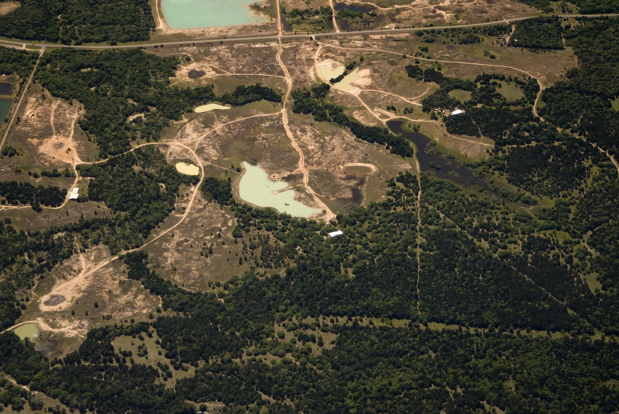
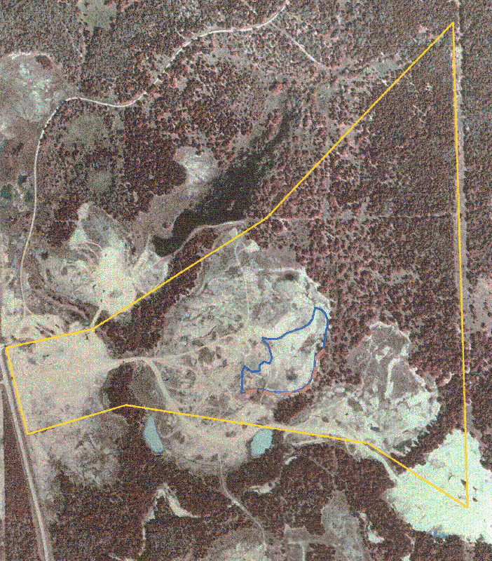
View from the east
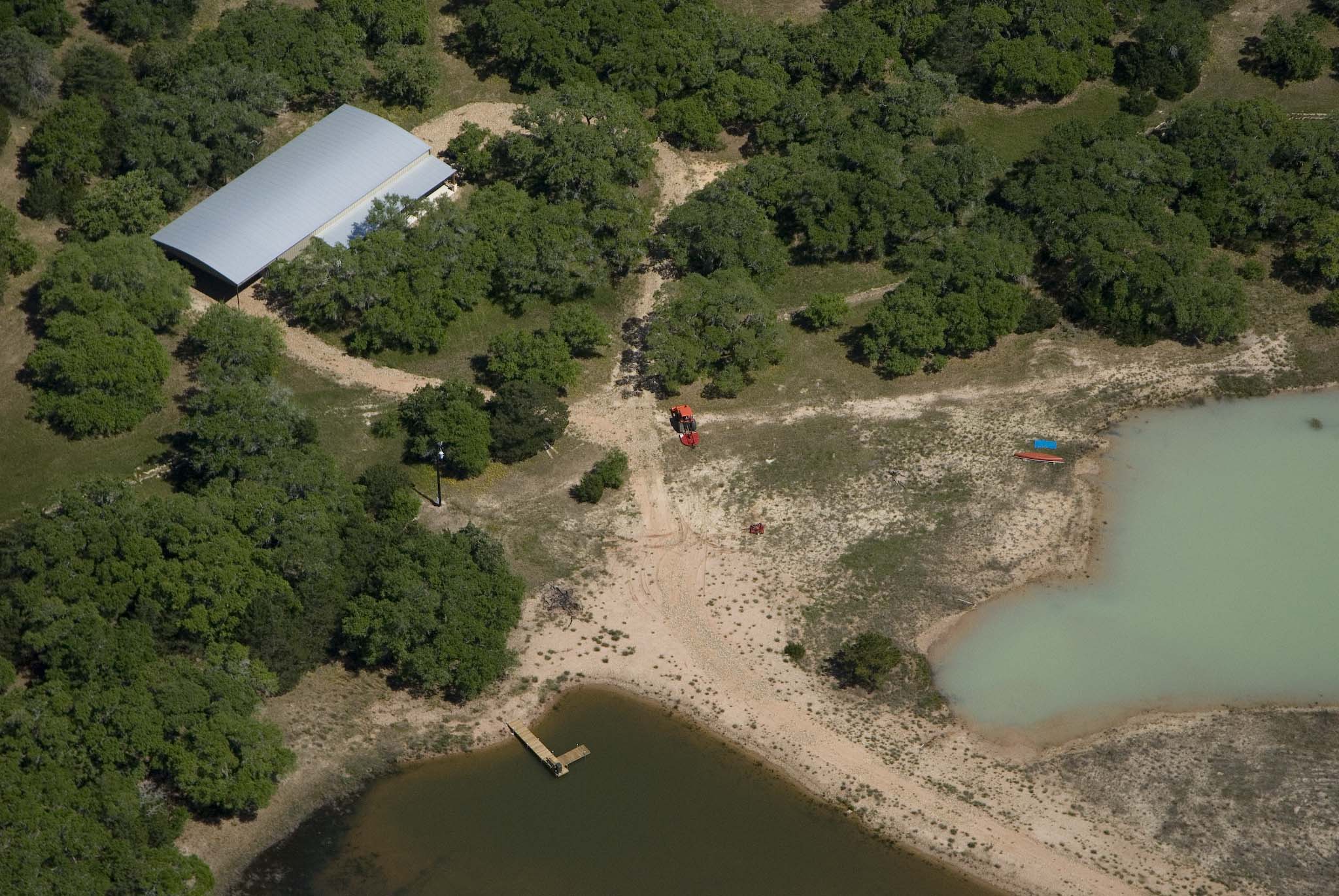
Closeup aerial of cabin and ponds
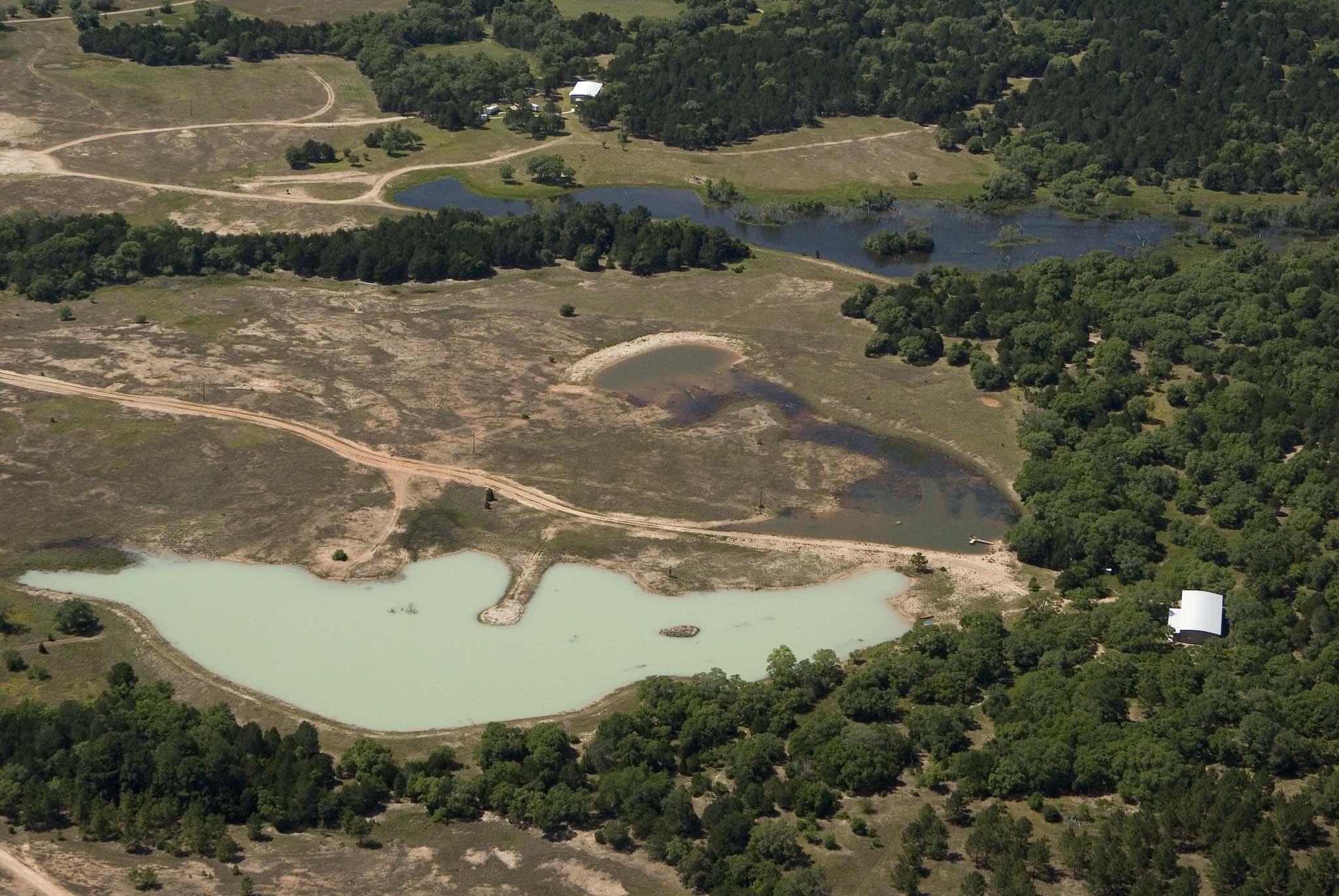
Nice view of big lake
2005 satellite image, just a month after pond was dug
1995 satellite image... note the open areas where gravel had once been mined
Closeup of the pond (as built)
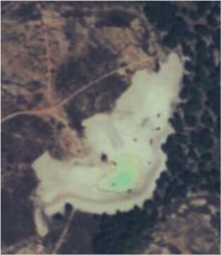
2005 satellite image (closeup), just a month after pond was dug
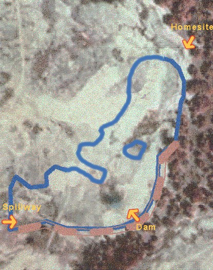
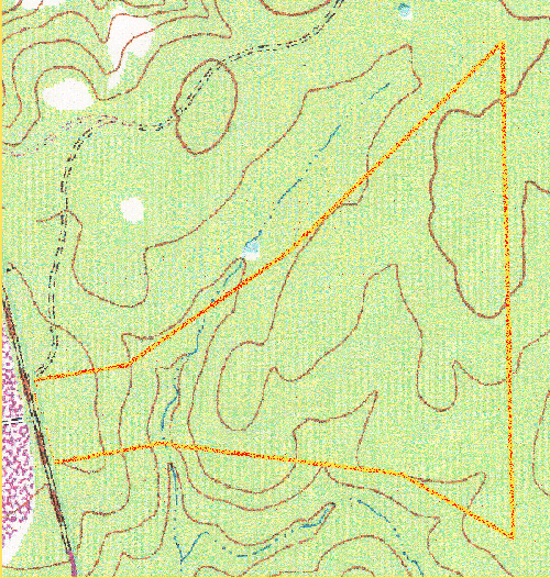
Topographical map
Main Page | Cabin | Pond | Trees | Family & Friends | Wildlife | Entrance & Culvert | Pond Structure | Aerial Sketches